Driving Route Calculator using Flutter Map and OpenStreetMap
Driving Route Calculator using Flutter Map and OpenStreetMap
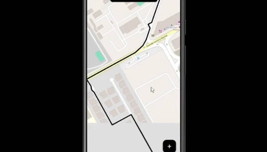
This project provides a simple example of calculating a driving route between two points using Flutter Map and OpenStreetMap.
https://github.com/matiasdev30/fluttermapdraw_route/assets/50122963/62872f51-625d-400a-bdac-5a6336dd47cf
Installation
Make sure you have Flutter installed. Then, clone the repository and navigate to the project directory.
git clone https://github.com/matiasdev30/flutter_map_draw_route/
Install the required dependencies using Flutter’s package manager:
flutter pub get
Dependencies
This project utilizes the following packages:
- flutter_map: ^3.1.0 – A Flutter package for embedding interactive maps directly within a Flutter widget.
- latlong2: ^0.8.1 – A package for representing and manipulating coordinates (latitude and longitude) in Dart.
- http: ^0.13.5 – A package for making HTTP requests in Dart.
- cupertino_icons: ^1.0.2 – Default icons for Cupertino-style apps.
- openrouteservice: ^1.2.2 – A Dart package for accessing the OpenRouteService API, which provides routing services.
Usage
To use this example in your Flutter project, follow these steps:
- Import the required packages into your Dart file:
import 'package:flutter/material.dart';
import 'package:flutter_map/flutter_map.dart';
import 'package:latlong2/latlong.dart';
import 'package:http/http.dart' as http;
import 'package:open_route_service/open_route_service.dart';
-
Copy the necessary code from the example provided in this repository to your project.
-
Modify the code as needed to integrate it into your application.
Documentation
For detailed documentation on each package used in this project, refer to the following resources:
License
This project is licensed under the MIT License.
Contributing
Contributions are welcome! Feel free to open an issue or submit a pull request to improve this project.


